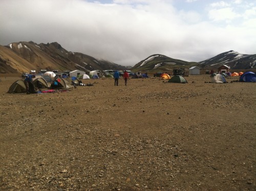
Base camp at Landmannalaugar, night 1. July 2013.
///
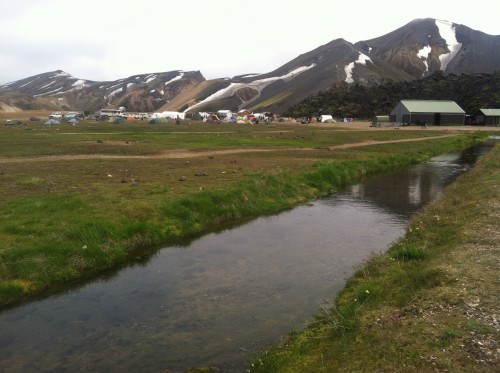
Landmannalaugar
///
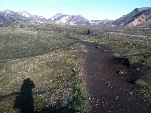
Leaving Landmannalaugar, into the lava field.
///
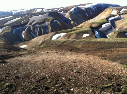
Officially in the highlands.
///
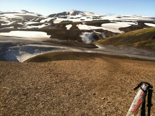
Highlands snowfields. Trail goes from foreground post, left of the center geyser steam, up the ridge, and up the next ridge.
///
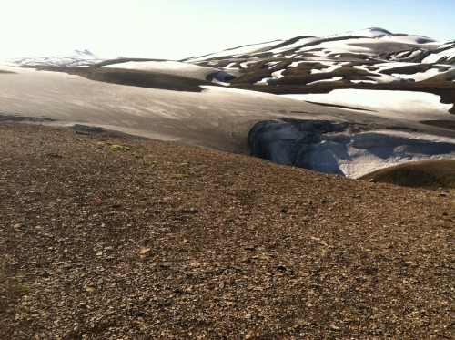
Snowfields
///
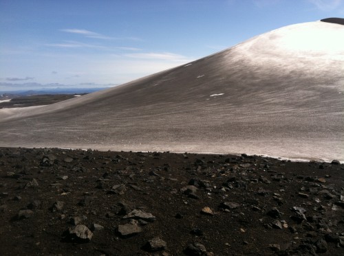
Near the highest point of the trek.
///
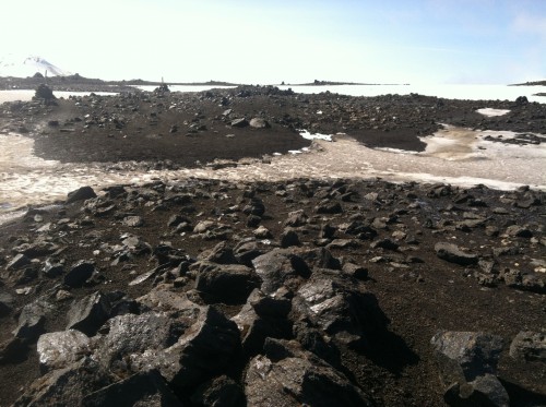
Over the top, follow the sticks and cairns.
///
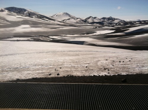
Looking off the front porch of the hut at Hrafntinnusker, halfway point of hiking day 1. Trail crosses all of this.
///
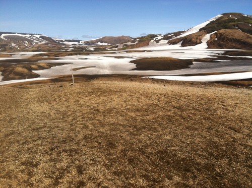
Crossing the snow-filled gullies, now descending from the highlands.
///
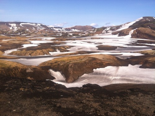
Looking back after crossing the snow gullies after the hut at Hrafntinnusker. Trail visible on the lower right snowfield. Two hikers visible on top of the center foreground ridge. Hut at Hrafntinnusker is visible as a dot on the snowfield to the left of the far center peak. I think.
///
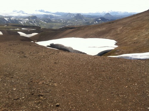
Half of this snowbridge collapsed while I was eating dried cranberries. That’s why you stay off the snowbridges.
///
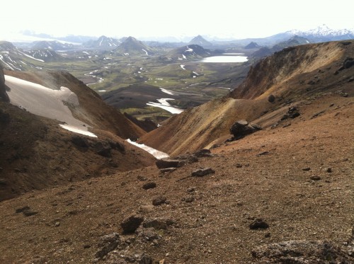
Descending toward the lake at Álftavatn.
///
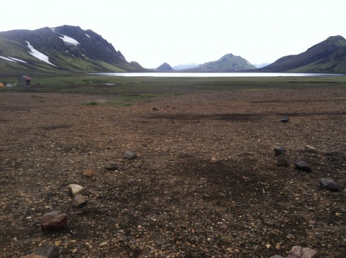
Álftavatn, end of day 1 hiking.
///
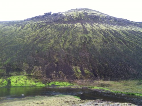
Brattháls next to Álftavatn. Trail visible on lower left, behind the stream.
///
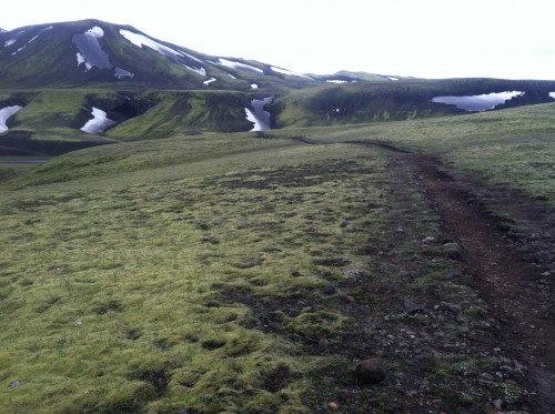
Heading out on hiking day 2. Descending to ford the river Bratthálskvísl.
///
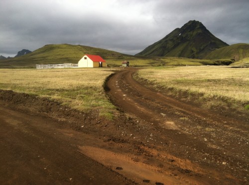
Hvanngil, sheep herding town.
///
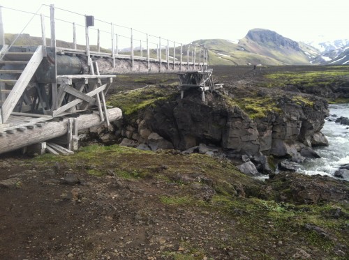
Bridge over Kaldaklofskvísl.
///
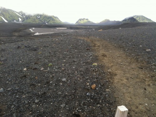
About 8 miles through mudflats.
///
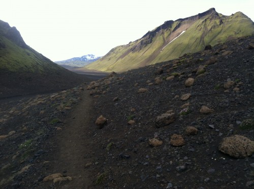
Still in the mudflats.
///
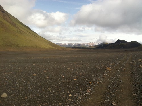
Mudflats!
///
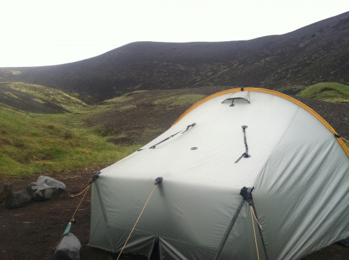
Tarptent Scarp 1 at Emstrur, end of hiking day 2.
///
No pictures from hiking day 3 — ALL RAIN.
///
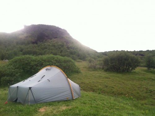
Tent at Þórsmörk for night 4.
///